SkySight Weather
Prior Preparation Prevents Poor Performance, SkySight is the tool that I use for this. A beautifully thought out & well-developed weather forecasting web-based application put together by Australian, Matthew Scutter. With excellent customer service & constant development, this is a one-stop-shop for your daily weather & task planning needs.
SkySight over other forecasting tools is its simplicity, ease of use & navigation around the site. What does this mean? Simply, you can envisage the weather easier & make fewer interpretation errors. Let's take a look below at how I plan my flights!
Potential Flight Distance
I always start here, it gives me a quick snapshot of what can be expected for the day as a guide or benchmark. In particular, I look for the highest PFD within 50km of the airfield, this shows me where the thermals are going the longest - ie, determining the best finish direction.
Point Forecast
This feature gives an all in one snapshot of the day from the selected point. It primarily helps me select my earliest possible launch time, or allows me to launch when the day is strongest for a short & sharp task. Additionally, you can see all cloud bands in an easy to interpret graph, climb rates throughout the day, wind direction & temperatures - very handy!
Note: In complex or changeable weather, it may be best to check a few different points around the airfield, because local effects may be significant and affect the location you choose, but not those immediately around.
XC Speed
A fabulous tool to see where the conditions will give the fastest possible cross-country speeds. Or, should you be looking for an easy flight, just plan as much of your flight in the hotter colors - this will basically take you through the higher height bands, the stronger & easier to work thermal strengths! I use this to compliment the PFD too, to help determine my first & last leg direction.
CU Cloudbase & Depth
Naturally, this one is good to check for the area, to see the areas there are expected to be Cumulus clouds. Areas with grey indicate possible small cloud formations or some degree of uncertainty. I find the depth feature very helpful to use, as it will indicate if the CU's are deep, thin, or whether I should be looking for haze domes (up to minus 250' depth?) or not during the day. Look closely & there are days that SkySight shows streeting using this feature!
Thermal Strength & B/S ratio
The key points to look for here are the strengths obviously, but also the stippling. Clean colors are the best for smooth thermals, light dots indicate some choppiness, heavy thick dots indicate hard to work thermals. So remember these areas, so you can change gears up or down as you approach easy or harder to work areas.
Convergence
Helps show streeting too, long runs of energy, also areas of divergence, so the likely hood of sink streets to look out for also. Once I planned a flight that allowed me to do a 250km final glide at 100kts - an incredible feeling!
Route forecast
This makes planning your start time & route selection so easy. Simply upload your site's waypoints, then with all the knowledge you've gained from the above information, select your start point, start direction, subsequent turn-points & finish from the optimal direction.
SkySight will crunch the numbers, then on the right, you'll notice a group of possible start times & the associated speeds if you were to start at each associated 30min block. This is where you need to determine your risk profile, do you give yourself space for a mistake or trust that all will go to plan?
Select the time you want to start & SkySight will super-impose an optimum track line on your selected task, indicating it's better to track to the right on the first leg, for example, then criss-cross on the next. Of course, real-life may be different, but it's a good start to have in mind!
Once you've selected your start time, you can select all of the above points or titles of interest in the main menu on the left-hand side of the screen, running the cursor over the time-scaled graph above, to watch the day develop, decay, see the fast & slower spots to look out for!
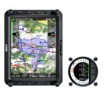
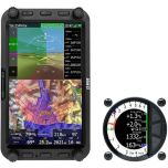
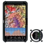
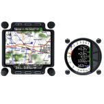
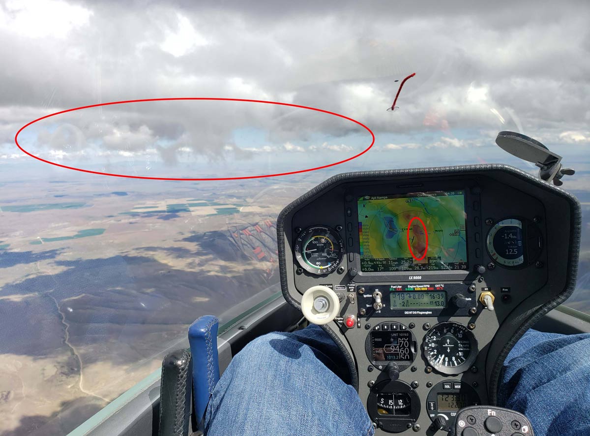
LXNAV & Oudie
Thanks to the constant development & great relationship between the two, you can now show the SkySight forecast on your LX80XX, LX90XX & Oudie device. A super helpful reminder in flight. I find this an essential tool to really help you maximize your flight & overall enjoyment - give it a try!
Banner photo was taken by Sean Franke